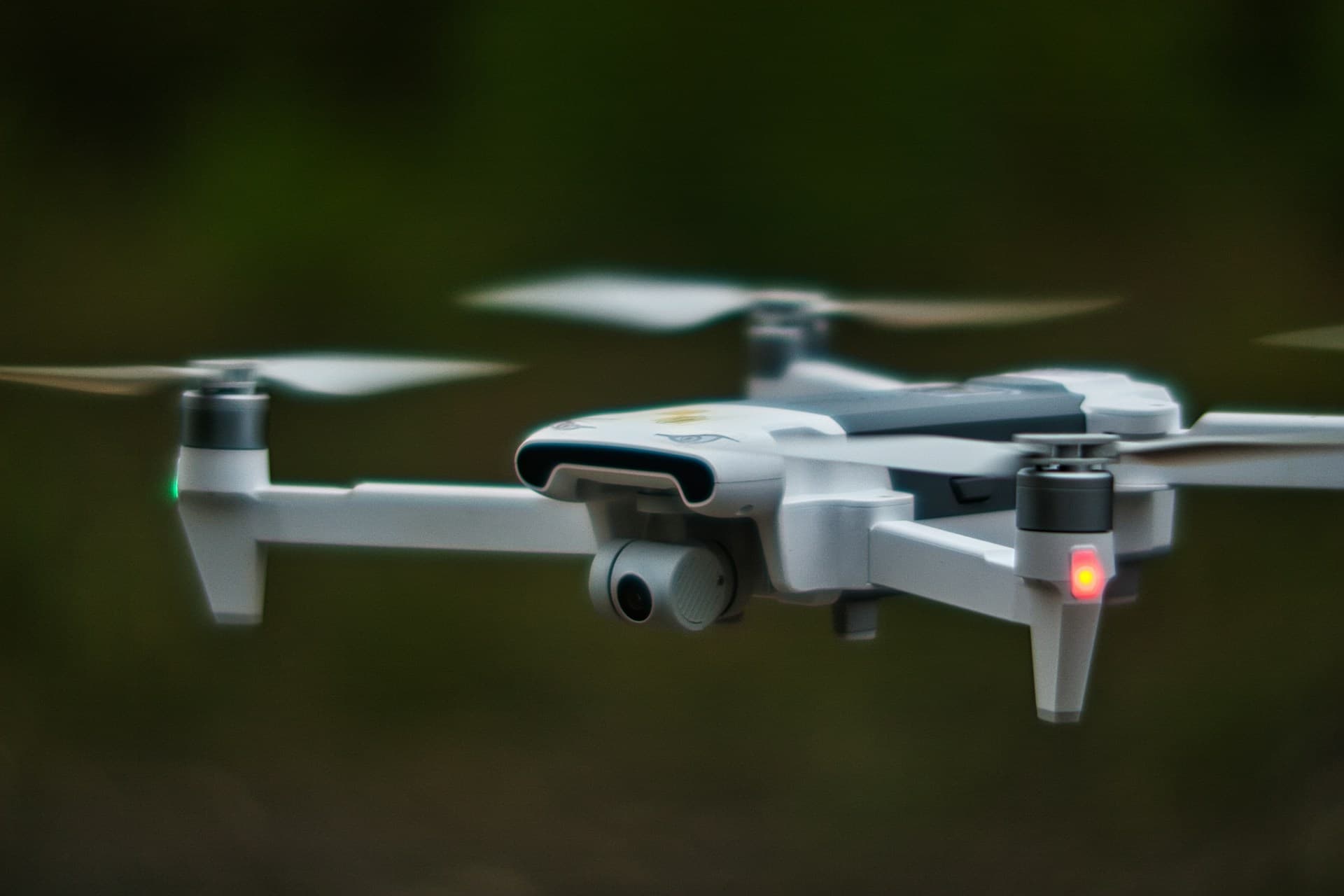
Unmanned Aerial Vehicle
Inspection and Monitoring
Unmanned Aerial Vehicles (UAV`s) equipped with cameras have made possible live and/or recorded industrial inspection and monitoring from the air. Examples of live monitoring include the inspection of electric lines, wildfire tracking, and road and bridge monitoring. In other cases, photographs or video taken using a UAV can be analyzed and interpreted post-flight. Agricultural monitoring and renewable energy inspection systems would fall into this category.

Mapping
Mapping or 2D modelling is one of the primary end-products of our UAVs. The many applications include maps of proposed roadways, project sites, and other areas of interest. Ortho-photo maps produced with a 1:1 scale can be used for survey purposes. While traditional aerial photography has generally been required to produce these base-maps, UAVs now provide an affordable alternative with centimeter-level accuracy.

3D Modelling
UAV 3D modelling involves the production of three-dimensional models of an object constructed from point clouds or mesh models. In addition to their use for purely visual purposes or the display of scale, these models can also be used to display elevation, calculate volume, or preserve an historical work for the next generation.

Analysis and Consulting
A wide range of analyses can be performed using 2D and 3D models produced from UAV photography. These analyses can be used by our team of experts to provide consulting when necessary.
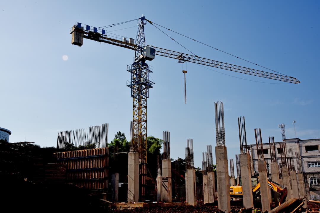
Engineering
A UAV efficiently provides high-resolution, photo-grammetric surveys. Related engineering applications include volume and surface area calculations, production of elevation contours, support for road design, calculations of excavation and fill, as well as production of Digital Surface Models (DSM), Digital Terrain Models (DTM), and Digital Elevation Models (DEM).